Central Luzon
SKU:
EZSL00022
Specifications:
- Edition: EZ Map Spiral Series 2010
- Dimensions: 4in width x 9in length (folded)
- 18in width x 24in length (spread)
- Paper stocks: C2S 80 glossy
- Weight: 36 grams
₱125.00
Fast Shipping
Carrier information
Secure Payment
Multiple secured payment methods
Fast Delivery
Track or off orders
Description
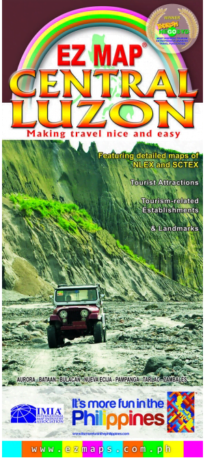
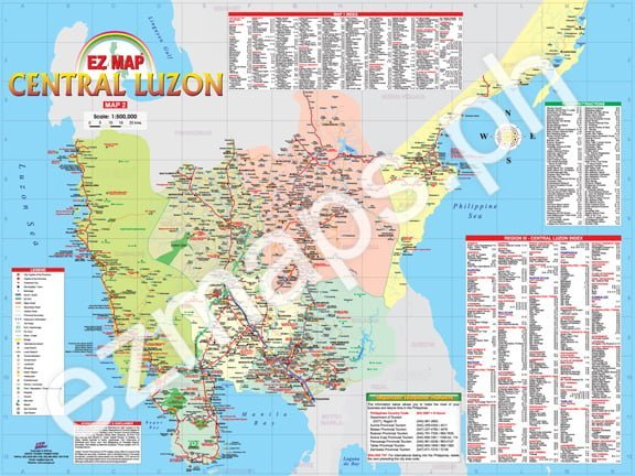
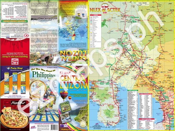
EZ Map Central Luzon is a user friendly colorful GPS referenced maps and highly detailed to easily navigate you throughout Central Luzon. The region has long been regarded to as the most productive agricultural plain in Asia, earning the moniker “Rice Bowl of the Philippines.” Extinct and active volcanoes, including the now famous Mt. Pinatubo, tower above lush, verdant farmlands. It also has an impressive heritage, having been the seat of government of the first Philippine Republic and the site of the important battles of World War II, coupled by well preserved, natural wonders and superb amenities of Subic and Clark Freeport Zones. Featuring the newly developed world-class SCTEX and NLEX superhighways, and it is easy to say why Central Luzon is a favorite hideaway right outside Metro Manila’s northern doorstep. With comprehensive index of more than 2,500 entries of cities, municipalities, barangays, landmarks, tourism-related establishments and tourist attractions. It also includes highlighted major and secondary roads, interchanges/exits and toll plazas to make your travel nice and easy.
Facebook
Twitter
LinkedIn
